How to drive the forbidden road to North Oscura Peak in New Mexico
North Oscura Peak is a high mountain peak at an elevation of 2.437m (7,995ft) above sea level, located in Socorro County, in the U.S. state of New Mexico.
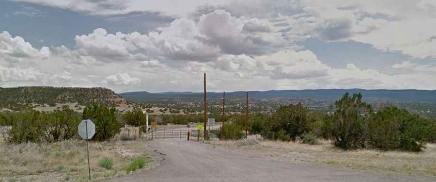
Where is North Oscura Peak?
The peak is located west of Carrizozo, in the south-central part of New Mexico.
Why is there a road to North Oscura Peak?
The peak is the location of an Air Force Research Laboratory (AFRL), a facility designed to assemble and evaluate advanced sensor, tracking and atmospheric compensation systems.
How long is the road to North Oscura Peak?
Set high in the Oscura Mountains, the road to the summit is totally unpaved in good condition. It’s called WSMR S Route 331. Starting from Wsmr P Rte 9, the road to the summit is 6.92km (4.3 miles) long. Over this distance, the elevation gain is 288m (945 ft) and the average gradient is 4.16%.
Can I drive the road to North Oscura Peak?
Located in the northern portion of the White Sands Missile Range, access is completely forbidden to civilian vehicles. As a restricted military zone (White Sands Missile Range -where weapons and aerospace systems are tested, unauthorized access is prohibited by law and closely monitored. In fact, it is part of the same massive complex where the world's first atomic bomb—the Trinity Site—was detonated.
Can I drive the forbidden road to Oscura Peak in New Mexico?
South of the summit, the road climbs up to Oscura Peak, a high mountain pass at an elevation of 2.630m (8,628ft) above sea level. Starting at the paved US-380, the road to the summit is 28.32km (17.6 miles) long. Over this distance, the elevation gain is 960m (3,150 ft) and the average gradient is 3.38%.