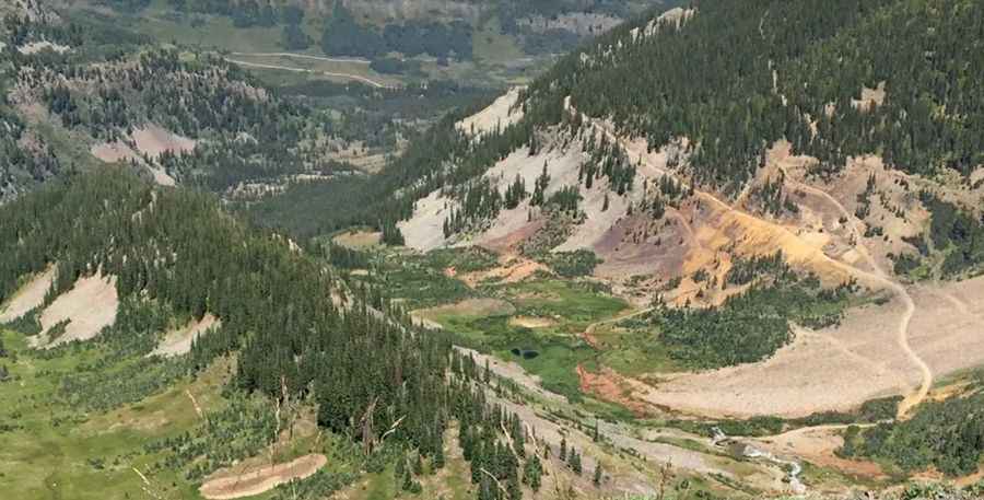
Driving the unpaved mining road to Mount Owen in Colorado
Mount Owen is a high mountain peak at an elevation of 3,542m (11,620ft) above sea level, located in Gunnison County, in the US state of Colorado.
| Road facts: Mount Owen | |
|---|---|
| Location | Gunnison County, Colorado (USA) |
| Elevation | 3,542 m (11,620 ft) |
| Length | 8.5 km (5.28 miles) |
| Average Gradient | 5.92% |
| Surface | Old Mining Road / Loose Gravel |
Where is Mount Owen?
The peak is located in the central part of Colorado, within the Gunnison National Forest.
How long is the road to the summit of Mount Owen?
The road to the summit is 8.5 km (5.28 miles) long starting from the Kebler Pass Road. Over this distance, the elevation gain is 504 meters and the average gradient is 5.92%.
Is the road to the summit of Mount Owen unpaved?
The road is a remnant of the region's mining history, consisting of an unpaved surface with significant rock debris and large stones. A high-clearance 4x4 vehicle is required. It is prone to landslides and tree falls that can block the path without warning.
Is the road to Mount Owen open year-round?
Set high in the Ruby Range of the Rocky Mountains, the road to Mount Owen is strictly seasonal. It is completely impassable from October to June, buried under heavy snowpack. The track is subject to rapid weather changes and high winds characteristic of the Gunnison National Forest.
Pic: Eric Yackel