How to drive the unpaved mountain road to Meadow Creek in Idaho
Meadow Creek is a high mountain peak at an elevation of 2.699m (8,854ft) above sea level, located in Valley County, in the U.S. state of Idaho.
Why is there a road to Meadow Creek?
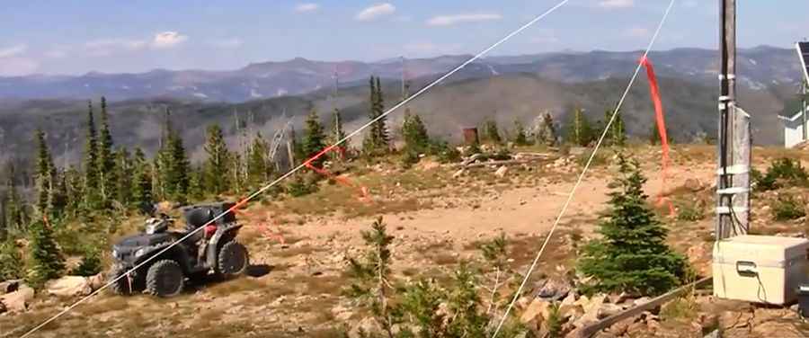
At the summit there is a fire lookout built in 1933, available for emergencies.
Is the road to Meadow Creek unpaved?
The road to the summit is totally unpaved, with rocky parts and narrow sections. It’s called NF-640.It’s pretty narrow. It features 7 sharp hairpin turns near the summit.
How long is the road to Meadow Creek?
Starting from Lake Street, the road to the summit is 11.4 miles long. 4x4 vehicle required.
Is the road to Meadow Creek open year-round?
Set high in the Boise National Forest, the road is usually impassable from October to June due to snow.
Pic: Elindio42