How to drive the unpaved road to North Star Mountain in Colorado?
North Star Mountain is a high mountain peak at an elevation of 3.960m (12,992ft) above sea level, located in the US state of Colorado. It’s one of the highest roads of Colorado.
Where is North Star Mountain?
The peak is located south of Breckenridge, on the boundary of Park County and Summit County, in the central part of Colorado. North Star is affected by some private mining claims so access can change at any time.
Is the road to North Star Mountain unpaved?
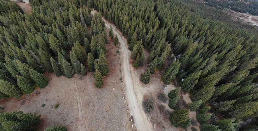
Tucked away in the Pike National Forest, the road to the summit is totally unpaved, narrow and steep. It’s an old mining road. It’s called County Road 2, also known as Ling Road in some maps. A 4x4 vehicle is required.
How long is the road to North Star Mountain?
Starting from Hoosier Pass, the road to the summit is 4.7 km long. Over this distance, the elevation gain is 437 m and the average gradient is 9.29%.
Is the road to North Star Mountain open year-round?
Set high at the northern end of the Mosquito Range, in the Rocky Mountains of Colorado, the road is not plowed in winters.
Pic: Nat Gle