Driving the NF-245 to the abandoned Sullivan Mountain lookout
Sullivan Mountain is a high mountain peak at an elevation of 1,977m (6,486ft) above sea level, located in Pend Oreille County, in the northeast corner of Washington, USA. Sitting right along the Canada–US border, this is one of the highest roads in the state and offers a deep dive into the rugged wilderness of the Colville National Forest.
| Road facts: Sullivan Mountain | |
|---|---|
| Location | Washington (USA) – Canada border |
| Elevation | 1,977 m (6,486 ft) |
| Road Name | NF-245 (Sullivan Mtn Road) |
| Length | 10.9 miles (17.5 km) |
| Hairpin Turns | 6 |
| Surface | Narrow / Rocky / Very Rough |
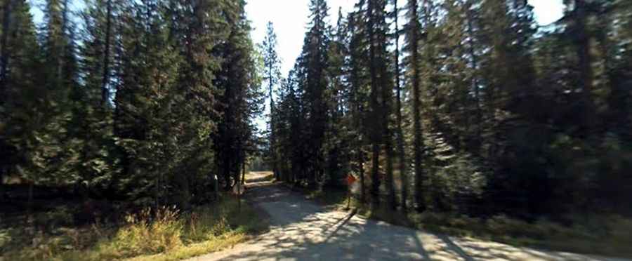
How is the drive to Sullivan Mountain?
The journey starts from Highline Road and spans 10.9 miles (17.5 km) to the top. The road, known as NF-245, is a real challenge for any driver. It’s narrow, rocky, and in rough condition throughout most of the climb. To reach the summit ridge, the track features 6 sharp hairpin turns that help you gain more than 3,000 feet of elevation in a relatively short distance.
During the peak of summer, the road gets very narrow as the mountain bushes grow right up to the edge of the track. If you are driving a wide vehicle or care about your paint job, be prepared: "pinstripes" from the branches are almost a guarantee here. A high-clearance 4WD vehicle is not just recommended, it’s essential to handle the deep ruts and the "tippy" sections of the trail.
What is the history of the Sullivan Mountain Lookouts?
Sullivan Mountain has been a strategic point for fire detection for nearly a century. The summit has been home to three different structures over the years:
- 1926: A cupola cabin was the first to be built.
- 1935: A 20-foot pole tower with an L-4 cab was installed.
- 1959: The present 20-foot treated timber R-6 tower was completed.
The current tower was last used in the 1970s and now stands abandoned. To deter vandals, the lower stairs have been removed, making it impossible to reach the cab. However, the structure remains an iconic landmark of the Pend Oreille wilderness.
Important: The final mile and wildlife safety
One of the most important things to know is that the road is gated off about a mile before the summit. You cannot drive all the way to the tower. Once you reach the gate, you must park your vehicle and hike the rest of the way along the old roadbed. It’s a steep climb on foot, but the solitude at the top is incredible.
Also, remember that you are in active bear country. Because this area is so close to the Canadian border and extremely remote, encounters are possible. It is highly recommended to carry bear spray and stay alert during the hike from the gate to the lookout. The solitude is one of the best parts of Sullivan Mountain, but it means you are on your own if something goes wrong.
When is the NF-245 open?
Due to its high elevation and northern latitude, the road is usually impassable from October to June. Snow can linger on the upper hairpins well into the summer. The best window for a visit is mid-July through September. Always check the weather before heading out, as wet conditions can turn the rocky dirt into a muddy mess, making the 10.9-mile return trip very difficult even for experienced wheelers.