How to drive the unpaved road to Ramcharger Lift in Montana?
Located in Madison County, in the US state of Montana, Ramcharger Lift sits at an elevation of 2.652m (8,700ft) above sea level.
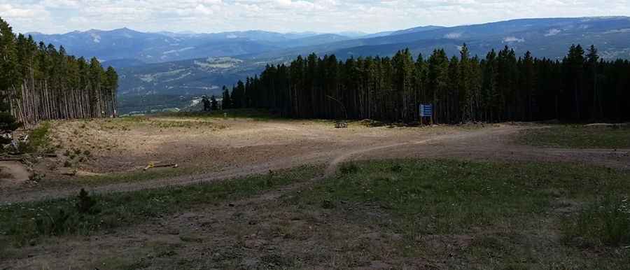
Where is Ramcharger Lift?
The lift is located in the southern part of Montana, within the Custer Gallatin National Forest.
Is the road to Ramcharger Lift unpaved?
The road to the lift is totally unpaved. It’s called Andesite Ridge Road. It features narrow parts and steep sections, with 6 hairpin turns. A 4x4 vehicle is required. It’s a chairlift access trail for the Big Sky Resort.
How long is the road to Ramcharger Lift?
Starting at the paved S Fork Road, the road to the lift is 7.08km (4.4 miles) long. Over this distance, the elevation gain is 348m (1,142 ft) and the average gradient is 4.91%.
Is the road to Ramcharger Lift open year-round?
Set high in the Madison Range, the road is usually impassable from late-October through June.
Pic: Benjamin Grimes