How to drive the unpaved road to Mount Patterson radio site in California
Mount Patterson radio site is a cell site with solar at an elevation of 3.027m (9,931ft) above sea level, located in Mono County, in the U.S. state of California. It’s one of the highest roads of California.
Where is Mount Patterson radio site?
The site is located to the south of Mount Patterson, in the east central portion of California, near the Nevada border, within the Humboldt-Toiyabe National Forest.
Is the road to Mount Patterson radio site unpaved?
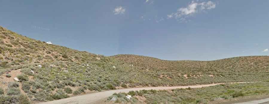
The road to the site is totally unpaved. It’s called FS-32167A. The road comprises rocky and narrow parts, with very steep sections.
How long is the road to Mount Patterson radio site?
Starting from Lobdell Lake Road, the road to the site is 4.18km (2.6 miles) long. Over this distance, the elevation gain is 465m (1,526 ft) and the average gradient is 11.12%.
Is the road to Mount Patterson radio site open year-round?
Set high in the Sweetwater Mountains, the road is not plowed in winters. It is usually impassable from late October through late June or early July (depending on snow).