Pinal Peak is a road you'll never forget in Arizona
Pinal Peak is a high mountain peak at an elevation of 2.397m (7,864ft) above sea level, located in southern Gila County, in the US state of Arizona.
Where is Pinal Peak?
Pinal Peak is located about nine miles south of Globe in the southern part of Arizona, within the Tonto National Forest. The peak is crowded with radio towers and visible from miles away. It’s not well known outside of the local area. Pinal Peak is the highest point in the Pinal Mountains. The Forest Service maintains several developed campgrounds in the Pinal Mountains.
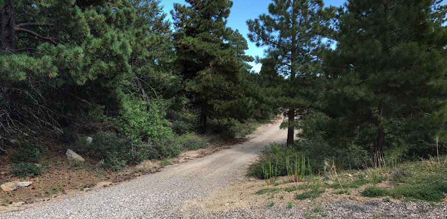
Is the road to Pinal Peak unpaved?
The narrow mountain road to the summit is entirely unpaved. Traveling during daylight is ideal, and nighttime driving is not recommended. The road often becomes impassable in winter. As back-road conditions can be hazardous, travelers should stay updated about weather and road conditions. While a high-clearance vehicle like an SUV or truck is needed, four-wheel-drive isn't essential during favorable weather.
How long is the road to Pinal Peak in Arizona?
The ascent to the peak is very steep. Starting from Pinal, the road to the summit is 26.07km (16.2 miles) long. Over this distance, the elevation gain is 1,296 meters and the average gradient is 4.97%.
Pic: Adam Grab