How to drive the unpaved road to Mount Union in Arizona?
Mount Union is a high mountain peak at an elevation of 2,431m (7,975ft) above sea level, located in Yavapai County, in the US state of Arizona.
| Road facts: Mount Union | |
|---|---|
| Location | Yavapai County, Arizona, USA |
| Elevation | 2,431 m (7,975 ft) |
| Length | 3.7 miles (from Potato Patch) |
| Surface | Unpaved (Forest Service Road) |
| Range | Bradshaw Mountains |
Where is Mount Union located?
The peak is situated south of Prescott, in the central part of Arizona, south of Spruce Mountain. It is part of the Prescott National Forest.
Why is it called Mount Union?
The mountain's name dates back to the 1860s, attributed to Union sympathizers during the American Civil War who utilized the area's mineral resources.
What is at the summit of Mount Union?
The summit hosts a fire lookout tower and various communication antennas.
Is the road to the summit of Mount Union unpaved?
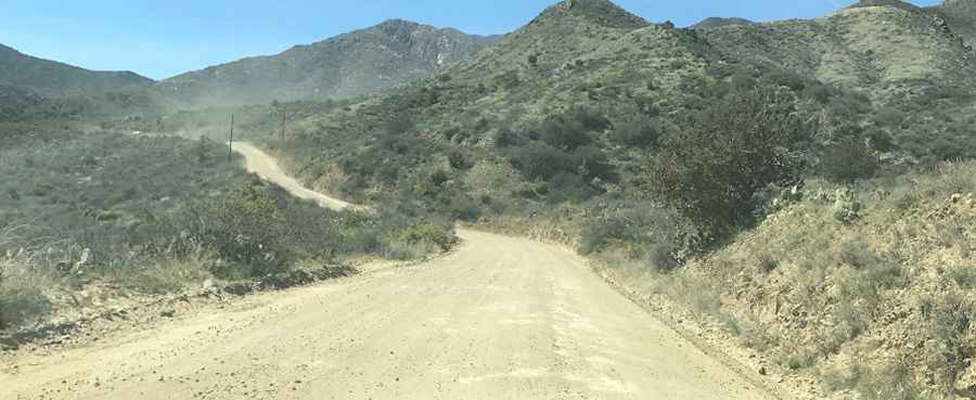
The road leading to the summit is totally unpaved. The road was initially established in the 1860s for mining and lookout access. The surface is generally composed of decomposed granite and packed dirt.
Can I drive my vehicle to Mount Union?
Most passenger cars can handle the road in dry conditions, but high-clearance vehicles are recommended to navigate the final approach safely.
How long is the road to Mount Union?
Starting from Potato Patch, the ascent is 3.7 miles long. The last part is restricted to authorized personnel or hikers.
Is the road to Mount Union open in winter?
Due to its elevation as the highest peak in the Bradshaw Mountains, the road to Mount Union is usually impassable during the winter months. The Forest Service does not perform snow removal on the track.
Pic: Alex Ilioi