How to drive the unpaved road to Oxford Peak in Idaho
Oxford Peak is a high mountain peak at an elevation of 2.831m (9,288ft) above sea level, located in Franklin County in the US state of Idaho. It’s one of the highest roads of Idaho.
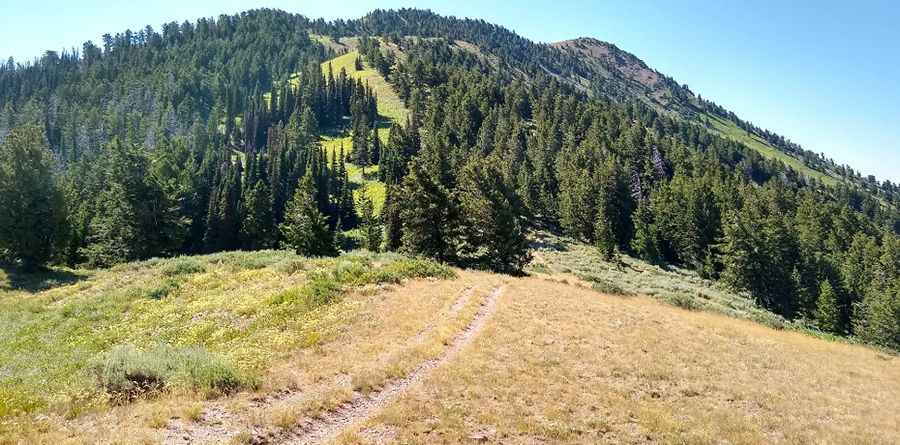
Where is Oxford Peak?
The peak is located north of Preston, in the southeastern part of Idaho.
Why is it called Oxford Peak?
The name of the peak originates from hunters who found oxen tracks at the ford of the nearby creek and therefore named it Oxford.
Is the road to Oxford Peak unpaved?
The road to the summit is totally unpaved, narrow and steep. A 4x4 vehicle is required. The drive comprises many turns. The last part of the road is closed to vehicles.
How long is the road to Oxford Peak?
Starting from Clifton, the road to the summit is 19.4 km long. Over this distance, the elevation gain is 1566 m and the average gradient is 8.07%.
Is the road to Oxford Peak open year-round?
Set high in Bannock Range, the road is not plowed in winters.
Pic: Nathaniel Bingham