How to drive the road to Highland Peak in Nevada?
Highland Peak is a high mountain peak at an elevation of 2.862m (9,389ft) above sea level, located in Lincoln County, in the US state of Nevada.
Where is Highland Peak?
The peak is located near Pioche, in the southeastern part of Nevada.
Why is it called Highland Peak?
It was named after the Scottish Highlands, the ancestral home of a pioneer citizen.
What’s at the summit of Highland Peak?
The summit hosts communications towers and a radio facility. Views from atop are stunning as far north as the mighty Snake Range and Wheeler Peak, and as well as into Utah.
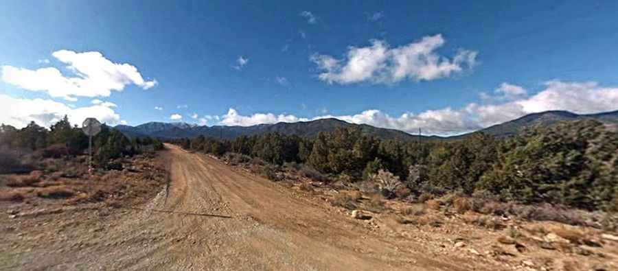
Is the road to Highland Peak unpaved?
The road to the summit is totally unpaved. It’s called Highland Peak Road. The road comprises narrow sections, steep parts and 15 hairpin turns.
How long is the road to Highland Peak?
Starting from the paved NV-320, the road to the summit is 12.39km (7.7 miles) long. Over this distance, the elevation gain is 982m (3,225 ft) and the average gradient is 7.92%.
Is the road to Highland Peak open year-round?
Set high in the Highland Range, the road is generally open from mid-May thru September (pending snow and accessibility).