How to drive the unpaved road to Success Summit in Nevada?
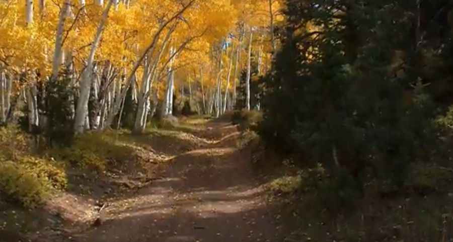
Success Summit is a high mountain pass at an elevation of 2.742m (8,996ft) above sea level, located in White Pine County, in the U.S. state of Nevada. On the ascent up to the pass, the traveler goes through groves of aspen trees.
Where is Success Summit?
The pass is located in the eastern part of Nevada, within the Humboldt-Toiyabe National Forest. At the summit the traveler has excellent views of the Schell Creek Range and the nearby Steptoe Valley.
Why is it called Success Summit?
The pass is named for an early mine.
Is the road to Success Summit unpaved?
The road to the summit is totally unpaved. It’s called NF-423. The road is rocky and steep. When the road is dry, it is usually suitable for passenger cars, but higher-clearance vehicles are safer.
How long is the road to Success Summit?
Starting from Success Loop Scenic Drive, the road is 0.9 mile long. Much of this section of the road is flanked by aspen trees - making for a very nice drive, especially during autumn.
Is the road to Success Summit open year-round?
Set high in the Schell Creek Range, the road is not plowed in winters.
How to drive the unpaved road to Camel Peak in Nevada?
South of the summit, the road leads to Camel Peak, a high mountain peak at an elevation of 2.877m (9,438ft) above sea level.
Pic: Ken Rash