How to drive the steep unpaved road to Ward Mountain in Nevada
Ward Mountain is a high mountain peak at an elevation of 3.336m (10,944ft) above sea level, located in south-central White Pine County, in the US state of Nevada. It’s one of the highest roads of Nevada.
Where is Ward Mountain?
The peak is located south of the city of Ely, in the eastern part of Nevada, within the Humboldt-Toiyabe National Forest.
Is the road to Ward Mountain unpaved?
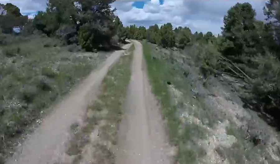
The road to the summit is totally unpaved and narrow in parts. It features many steep sections. The road is in fairly good condition, but a high-clearance vehicle is still necessary.
How long is the road to Ward Mountain?
Starting from Cave Valley Road, the road to the summit is 11.6 km long. Over this distance, the elevation gain is 1278 m and the average gradient is 11.01%.
Is the road to Ward Mountain open year-round?
Set high in the Egan Range, the road is not plowed in winters. It is generally open from mid-May thru September (pending snow and accessibility).
Pic&video: eugenethejeep72