How to get to Antora Peak in Colorado
Antora Peak is a high mountain peak at an elevation of 3,823 m (12,542 ft) above sea level, located in Saguache County, in the U.S. state of Colorado. It’s one of the highest roads in Colorado.
Where is Antora Peak?
The peak is located south of Poncha Springs, in the central part of Colorado.
How long is the road to Antora Peak?
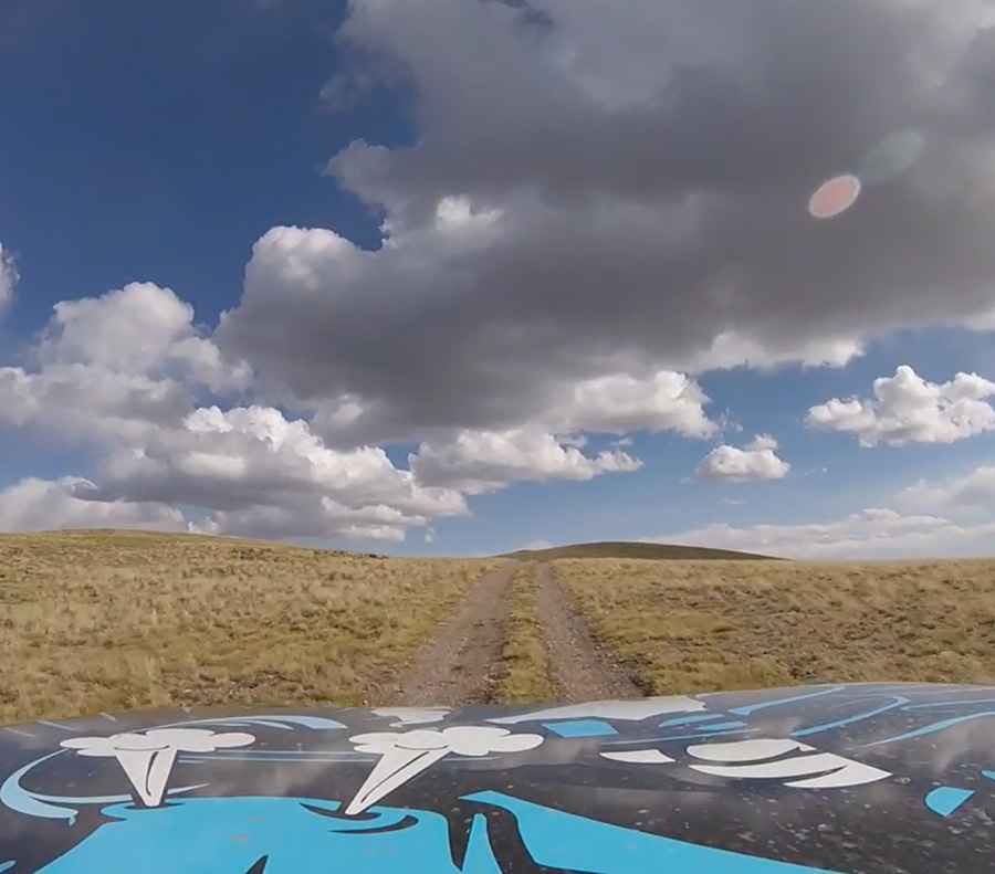
The road to the summit is totally unpaved. It’s called Sawmill Gulch Road. It’s an old mining road for 4x4 vehicles only. Starting from Bonita, the road is 11.8 km (7.33 miles) long. Over this distance, the elevation gain is 1,018 m and the average gradient is 8.62%.
Is the road to Antora Peak open in winter?
Set high at the southern terminus of the Sawatch Range, the road is impassable in winter months as it is not maintained.
Pic&video: Joel Barela