The unpaved road to Mount Mamma in Colorado
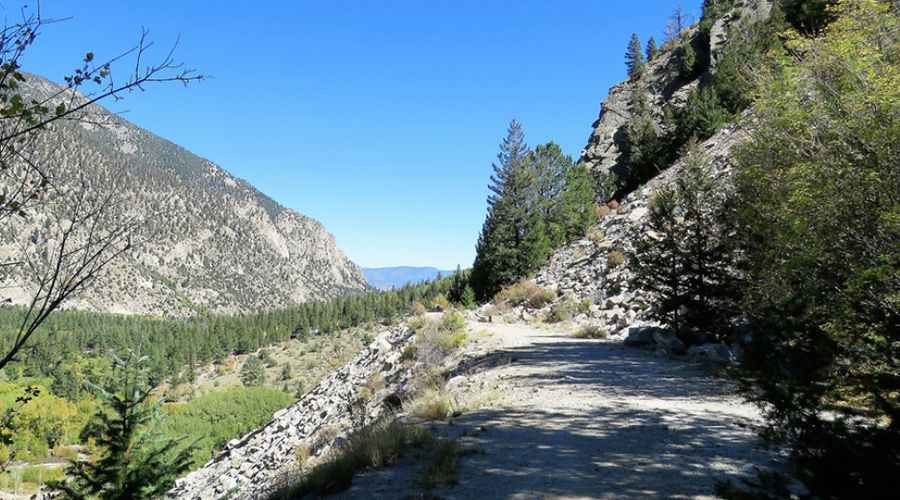
Mount Mamma is a high mountain peak located in Chaffee County, in the US state of Colorado. An abandoned mining road near the summit, ends at 3.842 m (12,604ft) above sea level. It’s one of the highest roads in Colorado.
Where is Mount Mamma?
The peak is located south of Buena Vista, in the central part of Colorado within the San Isabel National Forest. You will have good views of some of the high peaks of the area including Cronin Peak, Mt. Antero and Grizzly Mountain.
Is the road to Mount Mamma unpaved?
The road, which does not reach the summit, is totally unpaved and runs along Baldwin Creek. A 4WD vehicle with high clearance and an experienced driver are recommended. It’s an old mining road. The road ends at an abandoned mine on the southeastern slopes of the mountain, at 3.842 m (12,604ft) above sea level.
How long is the road to Mount Mamma?
Starting from Alpine, the road to the summit is 9.5 km long. Over this distance, the elevation gain is 947 m and the average gradient is 9.96%.
Is the road to Mount Mamma open year-round?
Set high in the Sawatch Mountains, the road is not plowed and totally impassable in winters.
Pic: Patricia Henschen
Road suggested by: David Criswell