How to drive the unpaved road to Bartlett Mountain in Colorado
Bartlett Mountain is a high mountain peak at an elevation of 4.016m (13,175ft) above sea level, located in Summit County, in the U.S. state of Colorado. It’s one of the highest roads of Colorado.
Where is Bartlett Mountain?
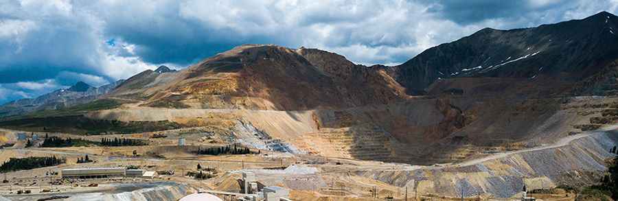
The peak is located in the central part of Colorado within the White River National Forest. The mountain was once the largest source of molybdenum in the world. The mine has carved out a road right to the top.
Is the road to Bartlett Mountain unpaved?
Set high in the Tenmile Range, the road to the summit is a mining road. It’s totally unpaved, curvy and steep. A 4x4 vehicle is required.
How long is the road to Bartlett Mountain?
Starting from Fremont Pass, the road to the summit is 5.4 km long. Over this distance, the elevation gain is 375 m and the average gradient is 6.94%.
Pic: Isaac Borrego