How to drive the unpaved road to Red Mountain in Clear Creek County?
Red Mountain is a high mountain peak at an elevation of 3.754m (12,316ft) above sea level, located in Clear Creek County, in the U.S. state of Colorado. It’s one of the highest roads in Colorado.
Where is Red Mountain?
The peak is located west of Denver, in the north-central part of Colorado, within the Arapaho National Forest.
Is the road to Red Mountain in Clear Creek County unpaved?
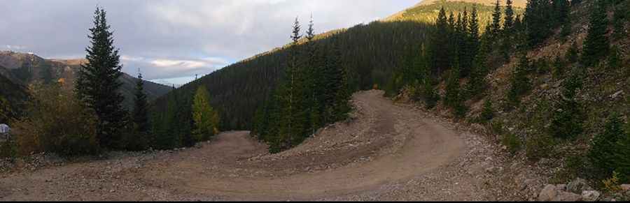
The road to the summit is totally unpaved. It’s essentially a mining road with some steep grades along the way. It features 12 sharp hairpin turns.
How long is the road to Red Mountain in Clear Creek County?
Starting from Woods Creek Road, the road to the summit is 3.9 km long. Over this distance, the elevation gain is 404 m and the average gradient is 10.35%.
Is the road to Red Mountain in Clear Creek County open in winter?
Set high in the Front Range of the Rocky Mountains, the road is not plowed in winters and deep snow pack blocks the entire mountain track from late October until July.
Pic: Thomas Jaramillo