An Old Mining Road to Whale Peak in Colorado
Whale Peak is a high mountain peak located in the U.S. state of Colorado. A mining road, north of the summit, climbs up to an elevation of 3,940m (12,926ft) above sea level. The road is very rough. It's one of the highest roads in Colorado.
Where is Whale Peak?
The peak is located north of Glacier Peak, on the boundary of Summit and Jefferson counties, in the central part of Colorado.
Is Whale Peak Unpaved?
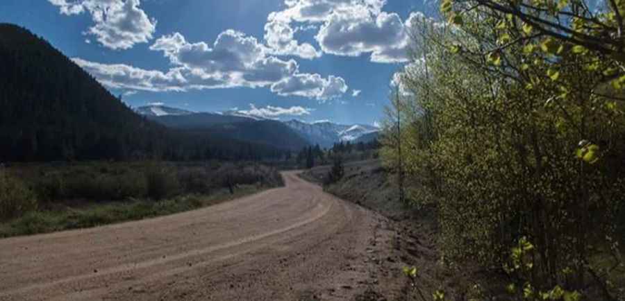
The road is totally unpaved and pretty rough. It's an old mine road called Montezuma Road. The road can be muddy, rocky, and difficult to traverse. Only OHVs or SUVs with significant clearance should attempt to summit the pass.
How long is the road to Whale Peak?
Starting from Georgia Pass, the ascent is 6.92km (4.3 miles) long. Over this distance, the elevation gain is 405 meters. The average gradient is 5.85%.
Is the road to Whale Peak open in winter?
Set high in the Front Range of the Rocky Mountains of Colorado, on the Continental Divide, on the boundary between Pike and Arapahoe National Forests, the road is open from early June to early October. The trail is impassable in the spring because of one wet area on the upper north side.
Is the road to Whale Peak worth the drive?
The scenery is beautiful, but make sure your equipment is in good shape and you know what you are getting into. Gibson Lake, nestled under Whale Peak during the summer, is a very popular destination.
Pic: Jessi Pooh