How difficult is the chairlift access road to Golden Bear Peak in Colorado?
Golden Bear Peak is a high mountain summit reaching an elevation of 3,725m (12,221ft) above sea level in Clear Creek County, Colorado. Located within the Rocky Mountains, the peak sits high above the famous Loveland Ski Area. The road to the summit is a rugged, unpaved service track primarily used for chairlift maintenance. As one of the highest mountain roads in Colorado, it presents a significant challenge due to its extreme altitude, steep gradients, and the thin air that starves both lungs and engines of oxygen.
| Road facts: Golden Bear Peak | |
|---|---|
| Location | Clear Creek County, Colorado (USA) |
| Elevation | 3,725 m (12,221 ft) |
| Length | 3.1 km (1.9 miles) from Loveland Ski Area |
| Average Gradient | 12.41% |
| Hairpin Turns | 6 |
How long is the road to Golden Bear Peak?
The ascent starts from the base of the Loveland Ski Area and spans 3.1 km (1.9 miles). Over this short distance, the track climbs a staggering 385 vertical meters, resulting in a brutal average gradient of 12.41%. The road features 6 tight hairpin turns that require precise maneuvering on loose gravel. This track is geographically linked to the transit corridor of the Eisenhower Tunnel, but while the tunnel moves traffic efficiently through the mountain, the road to Golden Bear Peak forces you to crawl directly up its face on an unmaintained dirt surface.
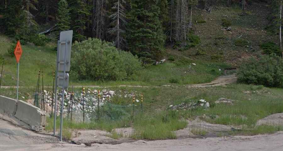
What are the road conditions on the Golden Bear access trail?
The road is an unpaved service trail intended for heavy machinery and 4x4 maintenance vehicles. The surface is composed of loose Rocky Mountain scree and dirt that can become incredibly slick after a summer thunderstorm. Because the average grade is over 12%, traction is a constant struggle; without a 4WD system and high clearance, your tires will likely spin out on the steeper ramps. The road is also heavily influenced by its location; south of the Eisenhower Tunnel, another similar chairlift access trail climbs to 3,662m (12,014ft), proving that this entire high-altitude sector is unforgiving for standard vehicles.
Why is Golden Bear Peak impassable for most of the year?
Due to its extreme elevation of 3,725m, the road is buried under heavy snow for the vast majority of the year. It is generally impassable from September until late July, leaving only a very narrow window in mid-summer for authorized vehicle access. Even in August, lingering snowdrifts can block the 6 hairpin turns. High winds are a constant factor at the summit, often blowing loose rocks onto the track. If you are driving this route, you must be prepared for winter-like conditions at any time, as sudden blizzards are common even in July at this altitude.
What vehicle is required to reach the summit of Golden Bear Peak?
A high-clearance 4WD vehicle is a non-negotiable requirement for this climb. The combination of the 12.41% gradient and the thin air means your engine will be struggling to maintain torque. A low-range gearbox is essential to keep the vehicle moving slowly over the embedded boulders and ruts without overheating the transmission. On the descent, the steepness of the ski-slope terrain will test your brakes; using low gears to manage your speed is the only way to prevent brake failure on the long drop back down to the Loveland base area.