How to drive the unpaved road to Wilson Peak in Colorado
Wilson Peak is a high mountain peak located in San Miguel County, in the US state of Colorado. West of the peak, an old mining road climbs up to at an elevation of 3.719m (12,201ft) above sea level. It’s one of the highest roads of Colorado.
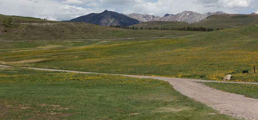
Where is Wilson Peak?
The peak is located west of Telluride, in the southwestern part of Colorado, in the Lizard Head Wilderness of the Uncompahgre National Forest. The peak, also known as Coors Peak, is one of Colorado’s more iconic 14,000’. It is featured prominently in Quentin Tarantino's movie The Hateful Eight.
Is the road to Wilson Peak unpaved?
The road to the summit is totally unpaved. It’s an old mining road and a 4wd with high clearance vehicle is required. It comprises narrow parts and very steep sections.
How long is the road to Wilson Peak?
Starting from Elk Creek Road, the road to the summit is 5.2 km long. Over this distance, the elevation gain is 548 m and the average gradient is 10.53%.
Is the road to Wilson Peak open year-round?
Set high in the San Miguel Mountains range of the Rocky Mountains, the road is not plowed in winters. It’s usually impassable from October through June.
Pic: http://www.aspenfilm.com/Aspen%20Productions%20Reference/Telluride%20Colorado/Schmid%20Ranch%20Telluride/index.html