How to drive the unpaved road to Mount Guyot in Colorado?
Mount Guyot is a high mountain peak located in southeastern Summit County, in the U.S. state of Colorado. North of the mountain, an unpaved road climbs up to at an elevation of 3.571m (11,715ft) above sea level.
Why is it called Mount Guyot?
It’s named after Arnold (Henri) Guyot (1807-1874) a famous geologist from Switzerland. Mt. Guyot is an iconic peak with its double-promontory ridgeline on the Continental Divide.
Where is Mount Guyot?
The road is located west of Georgia Pass, in the central part of Colorado.
Is the road to Mount Guyot unpaved?
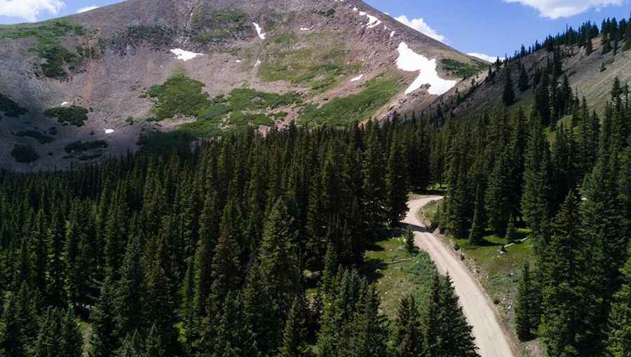
The road is totally unpaved, rocky and bumpy. It’s called Forest Road 569. 4wd vehicles with high clearance required.
How long is the road to Mount Guyot?
Starting from County Road 520 (French Gulch Road), the road is 1.3 miles long.
Is the road to Mount Guyot open year-round?
Set high in the Front Range of the Rocky Mountains of North America, the road is impassable in winters.
Pic: Merle Gleiforst