How to drive the unpaved road to South Summit Ridge in Utah?
South Summit Ridge is a high mountain peak at an elevation of 3.483m (11,427ft) above sea level, located in Garfield County, in the US state of Utah. It's one of the highest roads of Utah.
Where is South Summit Ridge?
The peak is located south of Hanksville, in the southeastern part of Utah, within the Capitol Reef National Park.
Why is there a road to South Summit Ridge?
At the summit there’s a lookout and a broken communication antenna.
Is the road to South Summit Ridge unpaved?
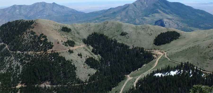
The road to the summit is totally unpaved, with many rocks. It’s a high-altitude dirt and gravel mountain track with numerous rough sections, steep grades, and blind curves. The road is designed for high-clearance 4x4 vehicles only.
How long is the road to South Summit Ridge?
Starting from Bull Creek Pass, the road to the summit is 3.8 km long. Over this distance, the elevation gain is 358 m and the average gradient is 9.42%.
Is the road to South Summit Ridge open year-round?
Set high in the Henry Mountains, the road is not plowed and typically inaccessible during winter due to snowpack. Sections of the road can be washed out after periods of heavy rain.
Pic: Tom Gathright