Driving the loneliest highway to Skalkaho Pass in Montana
Skalkaho Pass is a high mountain pass at an elevation of 2,212m (7,258ft) above sea level located in the U.S. state of Montana.
Where is Skalkaho Pass?
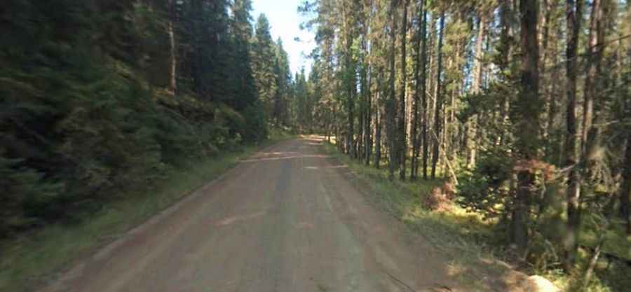
The pass is located on the boundary between Granite and Ravalli counties, in the southwestern part of Montana, within the Bitterroot National Forest. The summit offers no views as the pass is flat and heavily wooded. Skalkaho Falls is located near the top of the pass.
When was the road through Skalkaho Pass built?
Originally an Indian route, the road through the summit was built in 1924 to link mountainous mining areas with the agricultural settlements in the valleys.
Is the road through Skalkaho Pass unpaved?
The primitive seasonal road to the summit is mostly unpaved but navigable by all passenger vehicles in dry conditions. It’s called Skalkaho Highway (Montana Highway 38). Trailers are not recommended as there are narrow curves with limited pull-outs. It is necessary to drive carefully and slow down whenever approaching an oncoming car.
How long is Skalkaho Pass?
The road, also known as Montana Highway 38 (MT 38), is 54 miles (87 km) long, running west–east from Hamilton to Philipsburg. It’s the only direct route between these two agricultural areas.
Is Skalkaho Pass open in winter?
Set high in the Sapphire Mountains, the road is closed during winter due to heavy snowfalls.