The Ultimate Road Trip To Flat Iron Mesa in Carbon County
Flat Iron Mesa is a high mountain peak at an elevation of 2.171m (7,122ft) above sea level, located in Carbon County, in the US state of Utah.
Where is Flat Iron Mesa in Carbon County?
The peak is located in the northeastern part of Utah, to the north of Moab. Don’t get confused with Flat Iron Mesa Safari Route, which is located to the south.
Is the road to Flat Iron Mesa in Carbon County unpaved?
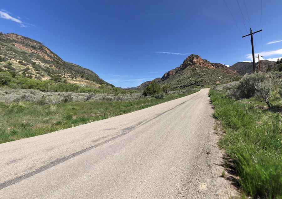
The road to the summit is mostly unpaved. It’s called Flat Iron Mesa Road. A 4x4 vehicle will be required to complete the drive.
How long is the road to Flat Iron Mesa in Carbon County?
It’s usually drivable all year round. Starting from Sunnyside, a former city on Highway 123, the road is 38.14km (23.7 miles) long.
Pic: Marceli Gawryś