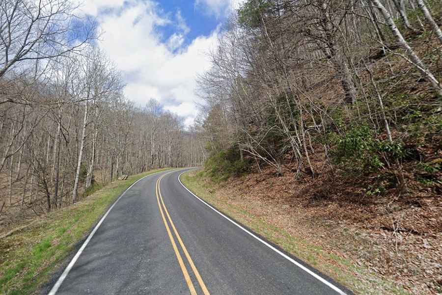
A winding narrow road through Cataloochee Valley in North Carolina
Located in the US state of North Carolina, Cataloochee Valley is nestled among some of the most rugged mountains within the Great Smoky Mountains National Park.
When was Cataloochee Valley Road built?
Early settlers built this road by hand in the 1800’s and called it Cataloochee Turnpike. It is the main entrance road to Cataloochee Valley.
How long is the road to Cataloochee Valley?
Starting from Jonathan Creek Road, the drive is 21.08km (13.1 miles) long and comprises State Road 1395 (Cove Creek Road), Old Cataloochee Turnpike and Cataloochee Entrance Road.
Is Cataloochee Valley Road challenging?
Cataloochee Valley Road is a steep, narrow, curving mountain drive that has some steep drop offs with no guard rails. Please use caution when driving on this road. The driver has to drive very slow and try to find a pull off if another car is coming. The road is narrow, so drivers may be required to stop or back up their vehicles to allow oncoming motorists to pass. Horse trailer traffic may be encountered on the road. Extreme caution with the single lane blind curves.
Is the road to Cataloochee Valley paved?
Tucked away in the Great Smoky Mountains, the road to this isolated valley is pretty challenging but very scenic. It’s mostly paved with a three-mile unpaved section leading up and over Cove Creek Gap.
Is the road to Cataloochee Valley open?
Always check the weather forecast before you start your journey: adverse conditions are common. The road becomes treacherous with snow. The road into Cataloochee Valley will often be closed when snow is on the peaks around Jonathan Valley.