A rough 4x4 road to Taylor Pass in Colorado
Taylor Pass is a high mountain pass at an elevation of 3,642m (11,948ft) above sea level, located in the U.S. state of Colorado. It’s one of the highest roads in Colorado.
Where is Taylor Pass?
The pass is located on the boundary between Gunnison and Pitkin counties, in the central part of Colorado, to the west of Denver.
Why is it called Taylor Pass?
The pass is named after Jim Taylor, a local mining pioneer who searched for gold in the area in the 1860s.
How long is the road to Taylor Pass?
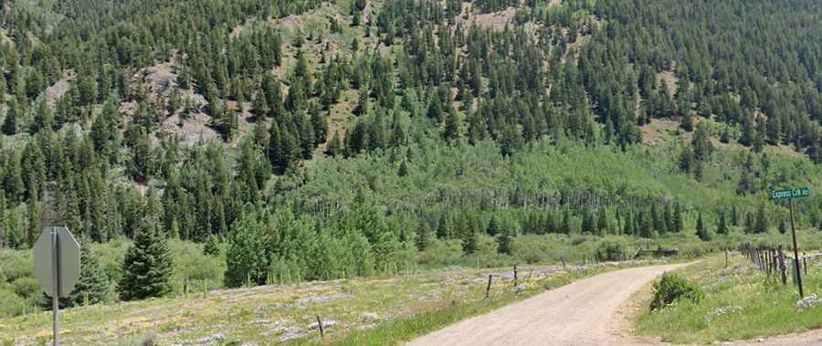
The road to the summit is totally unpaved, full of rocks and boulders. It is called Express Creek Road (Forest Service Road 15C). Starting at the paved Castle Creek Road, the road to the summit is 7.56km (4.7 miles) long. Don't try it in an ordinary car.
Is the road to Taylor Pass dangerous?
The road is not for the inexperienced. Only 4x4 vehicles with high clearance are suitable. The road is pretty rough, with one creek crossing fairly challenging. Go slow when the trail enters the creek; there can be some deep holes in there. Coming out of the creek can be the hardest part with wet tires, so look before you leap. It’s not for the faint of heart, especially if you are scared of heights. The north side of Taylor Pass gives access to Gold Hill and Difficult Pass.
Is Taylor Pass closed?
Set high in Colorado’s Rocky Mountains in the Elk Range, the road is impassable from October to July. July (may still be snowed in) and October (early snows may close the pass). This is a great alpine drive that takes you up, over, and through some of Colorado’s most spectacular alpine scenery.
How long does it take to drive Taylor Pass?
This is a true 4x4 experience, very scenic. Plan about 2 hours to complete the drive. This is a great mountain adventure; a terrific hill climb to the top of the pass. Once on top, you are rewarded for all the hard work with spectacular views out to the Elk and Collegiate Peaks Ranges. During June, July, and August, a variety of alpine flowers light up the surrounding meadows and hillsides. If you do this ride in early fall, you will be rewarded with spectacular colors from the changing of the aspen trees that fill the hillsides and Castle Creek Valley.
Is the road to Taylor Pass steep?
Located within the Gunnison National Forest, the road to the summit is very steep, hitting a 20% maximum gradient through some of the ramps. Starting at the paved Castle Creek Road, the elevation gain is 759 meters. The average gradient is 10.03%.