Boulder Mountain Pass is the highest point of Utah’s Scenic Byway 12
Boulder Mountain Pass is a high mountain pass at an elevation of 2,928m (9,606ft) above sea level, located in Garfield County, in the US state of Utah.
How long is Boulder Mountain Pass?
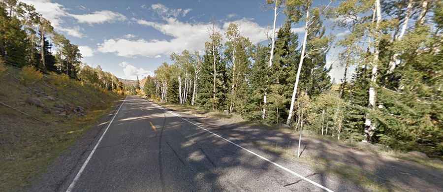
Set high in the southern part of Utah, the road to the summit is fully paved. It’s called State Route 12. At this elevation, it’s the highest point of the road built in the 1920s. The pass is 46.67km (29.0 miles) long, running south-north from Boulder to Grover.
Is Boulder Mountain Pass in Utah challenging?
The road is pretty challenging, with steep parts hitting an 8% maximum gradient through some of the ramps. The road is open year-round, but after major winter storms, sections might be impassable until plowed. Cell phones do not work along many miles of the highway due to the rugged terrain and remoteness. Many segments of Scenic Byway 12 have sharp curves and narrow to no paved shoulders.