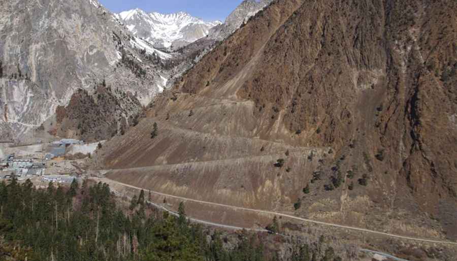
An old mining road to Mount Morgan in California
Mount Morgan is a high mountain peak located in Inyo County, in the US state of California. A gravel road near the summit climbs up to 3.619m (11,873ft) above sea level. It’s one of the highest roads in California.
Where is Mount Morgan?
The peak is located in northwestern Inyo County, in the eastern part of California, within the John Muir Wilderness of the Inyo National Forest. Do not drink any water east of Morgan Pass (Lower Morgan lake) down to Pine Creek - lots of residual mining chemicals still abound.
Why is it called Mount Morgan?
The mountain was named in 1878 by the Wheeler Survey for one of its members, J. H. Morgan, of Alabama.
Is the road to Mount Morgan open in winter?
Set high in the Eastern Sierra Nevada Mountains, the road is totally impassable in winters.
Is the road to Mount Morgan unpaved?
The trail is an old tungsten mine road, totally unpaved. 4x4 vehicle with high clearance required. The views are truly excellent from the trail.
How long is the road to Mount Morgan?
The road is very steep. Starting from the paved Pine Creek Road, the ascent is 10.78km (6.7 miles) long. Over this distance, the elevation gain is 1.233 meters. The average percentage is 11.43%.
Pic: https://windyscotty.files.wordpress.com/2009/10/pine-creek-004-medium.jpg