How to drive the unpaved road to the lookout at Cook Peak in California?
Cook Peak is a high mountain peak at an elevation of 1.604m (5,262ft) above sea level, located in Kern County, in the U.S. state of California.
Where is Cook Peak?
Set high in the Sierra Nevada, the peak is located west of Weldon, in the central part of California, within the Sequoia National Forest.
Why is there a road to Cook Peak?
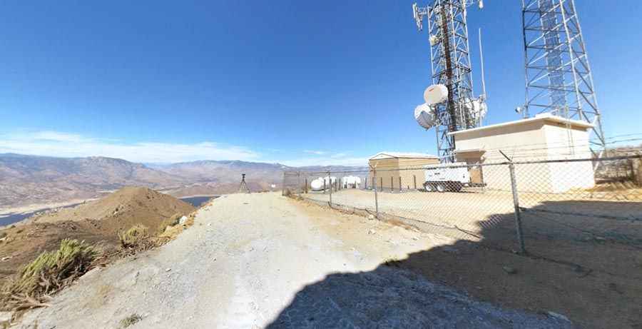
The summit hosts a radio broadcaster.
Is the road to Cook Peak unpaved?
The road to the summit is totally unpaved and rocky. It’s called Cook Peak Lookout Road. It features narrow parts, steep sections and 8 sharp hairpin turns. A 4x4 vehicle is required.
How long is the road to Cook Peak?
Starting from Squirrel Mountain Valley, the road to the summit is 9.17km (5.7 miles) long. Over this distance, the elevation gain is 682m (2,238 ft) and the average gradient is 7.43%.
Pic: Ron Schott