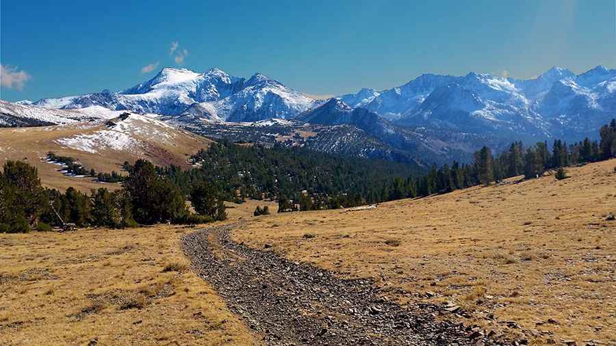
Driving the road to Coyote Ridge in California is not a piece of cake
Coyote Ridge is a high mountain ridge at an elevation of 3.492m (11,456ft) above sea level, located in Inyo County, in the U.S. state of California. It’s one of the highest roads in California.
Where is Coyote Ridge?
The ridge is located southwest of Bishop, in the eastern part of California, within the Inyo National Forest.
Is the road to Coyote Ridge unpaved?
The road to the summit is totally unpaved and usually impassable in winter. 4x4 with high clearance is required. It is very steep, hitting a 20% maximum gradient through some of the ramps.
How long is the road to Coyote Ridge?
Starting at the paved California State Route 168 (Lake Sabrina Road), the road to the summit is 25.2 km (15.65 miles) long.
Is the road to Coyote Ridge open in winter?
Set high in the Sierra Nevada mountain range, the road is subject to closure during the winter months, usually not opening until mid- or late April.
Pic: Kevin Slama