A Memorable Road Trip to Richmond Hill in Colorado
Richmond Hill is a high mountain pass at an elevation of 3,738m (12,265ft) above sea level, located in Pitkin County, in the U.S. state of Colorado. It’s one of the highest roads in Colorado.
Where is Richmond Hill?
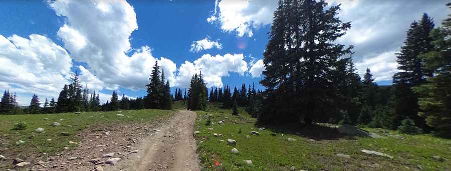
The pass is located in the central part of Colorado, within the White River National Forest. The road to the summit is unpaved. It’s called Richmond Hill Road, also known as County Road 15E. The road, steep in places, stays high in elevation throughout the trip. There are some spots that can be muddy even in dry weather due to the shady conditions.
How Long is the Road Through Richmond Hill?
The road through the pass is 20.27km (12.6 miles) long, running south-north from Taylor Pass to Aspen Mountain.
Can I Drive My Vehicle to Richmond Hill?
The trail is rough and steep with possible mud holes. It follows the top of a ridge that is fairly narrow in spots, and it is suitable for stock SUVs with high clearance and low-range gearing. It’s best to go with another vehicle.
Is the Road to Richmond Hill Open in Winter?
Set high in Colorado’s Rocky Mountains in the Elk Range, the road is impassable from October to July. Even in July, snow may still be present, and early snows can close the pass by October.
Pic: Master T