Travel Guide to the Top of Crane Mountain in Oregon
Crane Mountain is a high mountain peak at an elevation of 2,542m (8,339ft) above sea level, located in Lake County, in the U.S. state of Oregon. It’s one of the highest roads in Oregon.
Where is Crane Mountain?
The peak is located east of Lakeview, in the south-central region of Oregon, near the California border, within the Fremont–Winema National Forest.
What’s at the summit of Crane Mountain?
At the summit, there are remnants of an old fire lookout, built in 1952 and removed in 1972. The panoramic vista from the summit, especially of enormous Goose Lake, the adjacent Lakeview Valley, and the surrounding mountains and plains, is amazing.
Is the road to Crane Mountain paved?
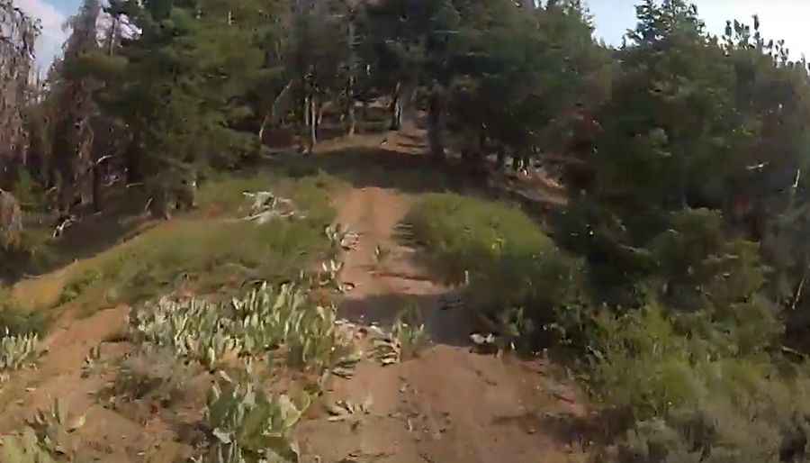
The road to the summit is totally unpaved and very rough. It’s called NF-4011. Expect steep, badly potholed (bottomless potholes) sections. A 4WD vehicle with high clearance is required. The road may be too rough for most vehicles.
Is the road to Crane Mountain open in winter?
Set high in the Warner Mountain range, the higher elevations of this road are usually not snow-free until July. Weather conditions on the mountain can change rapidly. As a result, visitors enjoying winter activities need to check weather forecasts before setting out on the road.
How long is the road to Crane Mountain?
The road to the summit is steep. Starting at NF-3915 road, the ascent is 9.49km (5.9 miles) long. Over this distance, the elevation gain is 694 meters. The average gradient is 7.31%.
Pic&video: mwan650