A memorable road trip to Bridger Peak in Wyoming
Bridger Peak is a high mountain peak at an elevation of 3,355m (11,007ft) above sea level, located in Carbon County, in the U.S. state of Wyoming. It’s one of the highest roads in Wyoming.
Where is Bridger Peak?
The peak is located in the southern part of Wyoming, near the Colorado border, within the Medicine Bow National Forest. At the summit, the remains of an old fire lookout are located, as well as a ramshackle radio facility. Bring mosquito repellent as well, especially in early season.
Why is it called Bridger Peak?
The mountain is named after the mountain man Jim Bridger, who explored the area in the 1800s.
How long is the road to Bridger Peak?
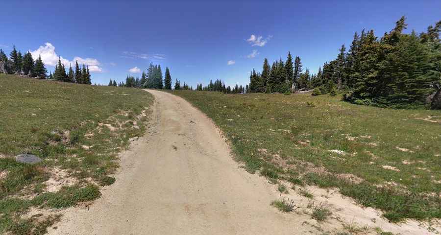
The road to the summit is totally unpaved. It’s called Forest Service Road 412. A 4x4 vehicle is required. Starting from Battle, a ghost coal town on the WY-70 road, the ascent is 6.59km (4.1 miles) long. Over this distance, the elevation gain is 356 meters. The average gradient is 5.40%.
Is the road to Bridger Peak open in winter?
Set high in the Sierra Madre Range, the road usually isn’t open until mid-July and typically closes sometime in September (or into October in dry years).
Pic: Joshua Matzke