Rampart Range Road in Colorado is a hidden gem closed in winters
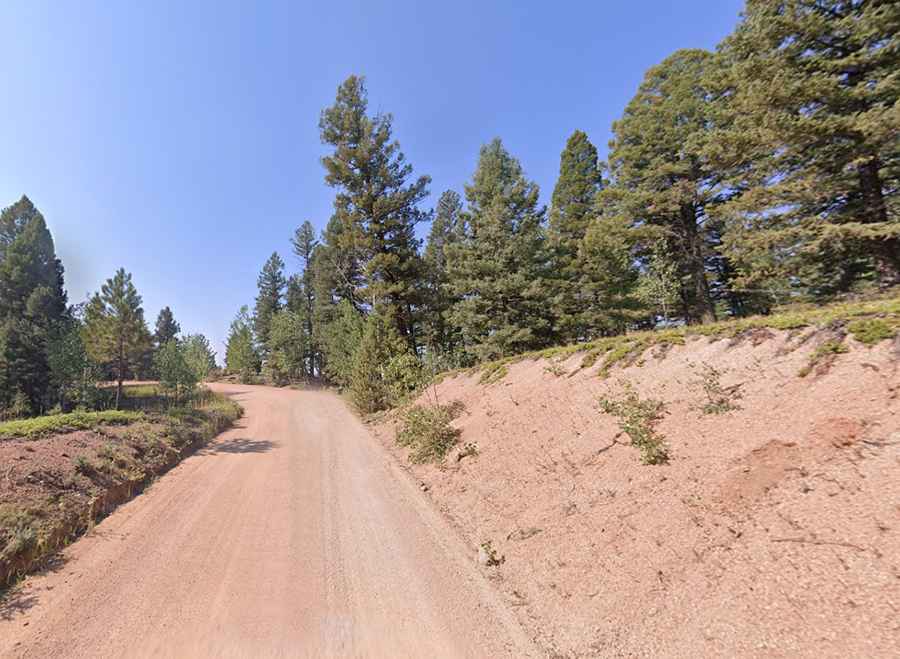
Rampart Range Road is the name of a highly scenic unpaved drive located in the U.S. state of Colorado.
Where is Rampart Range Road?
The road is situated on the boundary of Douglas, Teller, and El Paso counties, within the Pike National Forest, running through the forested crest of the Rampart Range.
Is Rampart Range Road unpaved?
The scenic road is entirely unpaved. The quality of the road varies, but all sections are traversable by automobile, and a four-wheel-drive vehicle is not necessary. However, if you own a four-wheeler or a dirt bike, you will find an abundance of challenging trails to enjoy and test your mettle.
Is Rampart Range Road challenging?
Changing conditions, natural hazards, and oncoming traffic may be encountered. The road features some steep parts, with a maximum gradient of 11%.
How long is Rampart Range Road?
Also known as Forest Service Road 300, it stretches 61.79 km (38.4 miles), running north-south from Highway 67 between Sedalia and Deckers to the city of Woodland Park (Teller County).
Is Rampart Range Road open?
The road tops out at 2,876m (9,436ft) above sea level. It is closed to motorized traffic during the annual closure from December 1 to April 1, reopening when conditions are favorable for summer recreation.
When was Rampart Range Road built?
Built during the Great Depression of the 1930s by the Civil Conservation Corps, there are absolutely no services along Rampart Range Road, and very few "exits" along the way. The drive yields spectacular views of Pikes Peak, the prairie, and the rugged Front Range and Tarryall Mountains. It offers quiet camping, diverse mountain biking and camping opportunities, and one of Colorado’s last fire lookouts atop Devils Head.