How to drive the unpaved road to Mount Callaghan in Nevada?
Mount Callaghan is a high mountain peak at an elevation of 3.107m (10,193ft) above sea level, located in Lander County, in the U.S. state of Nevada. It’s one of the highest roads of Nevada.
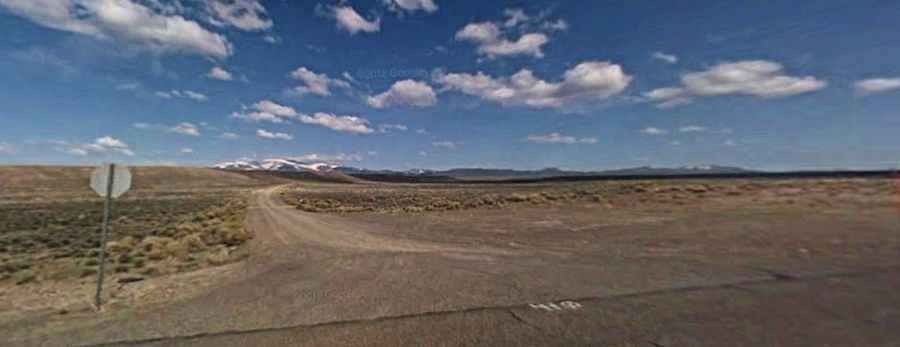
Where is Mount Callaghan?
The peak is located north of Austin, in the in central part of Nevada.
Why is it called Mount Callaghan?
The summit is named after Dan Callaghan, a silver and gold prospector.
Why is there a road to Mount Callaghan?
At the summit there are communications structures and facilities.
Is the road to Mount Callaghan unpaved?
The road to the summit is totally unpaved and pretty rough. A 4x4 vehicle is required.
How long is the road to Mount Callaghan?
Starting from the paved NV-305, the road to the summit is 23.7 km long. Over this distance, the elevation gain is 1475 m and the average gradient is 6.22%.
Is the road to Mount Callaghan open year-round?
Set high in the Simpson Park Mountains, the road is not plowed in winters.