The Defiant Road to Sedgwick Peak in Idaho is for Experienced Drivers Only
Sedgwick Peak is a high mountain peak at an elevation of 2,791m (9,156ft) above sea level, located in Bannock County, in the U.S. state of Idaho. It’s one of the highest roads in Idaho.
Where is Sedgwick Peak?
The peak is located south of Baldy Mountain, in the southeastern part of Idaho, within the Caribou-Targhee National Forest.
Why Is It Called Sedgwick Peak?
The peak may have been named after General John Sedgwick.
What's at the Summit of Sedgwick Peak?
The summit is crowned with different antenna structures.
Is the Road to Sedgwick Peak Unpaved?
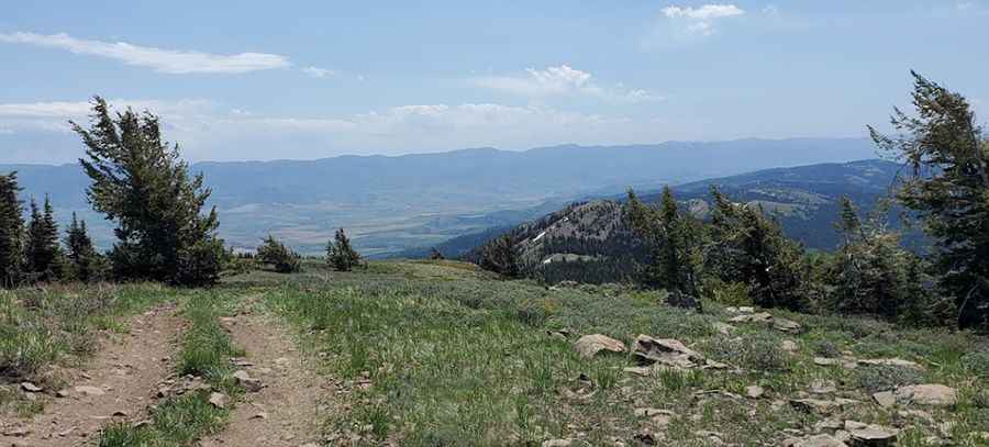
The road to the summit is totally unpaved. It’s called Road W. The road has some steep sections and is very rocky in places, and good tires and good brakes (for the descent) are crucial. A 4WD high-clearance vehicle is required.
How Long Is the Road to Sedgwick Peak?
The road to the summit is pretty steep. Starting at Thunder Mountain Road, the ascent is 10.62km (6.6 miles) long. Over this distance, the elevation gain is 818 meters. The average gradient is 7.70%.
Pic: Shad