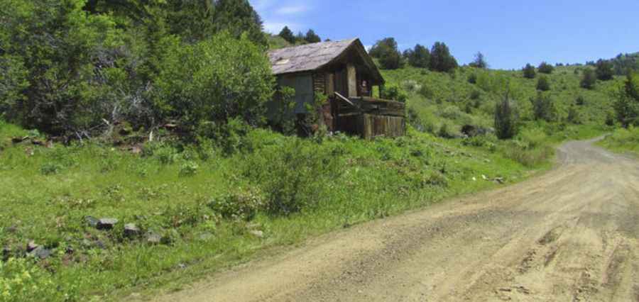
Driving the steep NF-356 road to Mount Jordan in Idaho
Mount Jordan is a high mountain peak at an elevation of 2,889m (9,478ft) above sea level, located in Custer County, in the US state of Idaho. It one of the highest roads in the entire state.
| Road facts: Mount Jordan | |
|---|---|
| Location | Custer County, Idaho (USA) |
| Elevation | 2,889 m (9,478 ft) |
| Road Name | NF-356 |
| Length | 4.18 km (2.6 miles) |
| Average Gradient | 14.37% |
| Max Gradient | Over 20% in sections |
Where is Mount Jordan?
The peak is located in the central part of Idaho, within the Challis National Forest. From the summit, the view is absolutely breathtaking, offering a 360-degree panorama of the jagged Idaho peaks.
How long is the road to Mount Jordan?
The road to the summit is called NF-356. It starts from Loon Creek Road and runs along the Jordan Creek. The climb is 4.18 km (2.6 miles) long. Over this distance, the elevation gain is 601 meters (1,972 ft) with an average gradient of 14.37%.
Is the road to Mount Jordan unpaved?
The surface is entirely unpaved, consisting of loose gravel, large rocks, and deep ruts. 4x4 vehicles with low-range gearing are required.
Is the road to Mount Jordan open year-round?
Set high in the Salmon River Mountains, at this elevation, the road is impassable during the winter and well into late spring. Snow can block the NF-356 until July in some years. The weather in Custer County is notoriously unpredictable, with afternoon thunderstorms frequently hitting the high ridges. During wet conditions, the road turns into a muddy trap, making the ascent nearly impossible for all but the most experienced wheelers.