Leatherman Peak: Driving the vertical Sawmill Gulch Road in Idaho
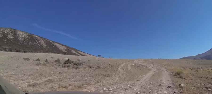
Leatherman Peak is a high-altitude mountain summit located in Custer County, Idaho. While the peak itself reaches higher elevations, a grueling gravel road climbs its western flank to reach 2,742m (8,996ft) above sea level. This track, known as Forest Road 411 or Sawmill Gulch Road, is one of the highest mountain roads of Idaho. It is a raw, unpaved transit within the Salmon-Challis National Forest where the extreme verticality and the rugged nature of the Lost River Range define every meter of the ascent.
| Road facts: Leatherman Peak (FR 411) | |
|---|---|
| Location | Custer County, Idaho (USA) |
| Max Elevation | 2,742m (8,996ft) |
| Length | 4.7 km (2.9 miles) |
| Average Gradient | 15.80% |
How technical is the 15.80% climb on the Sawmill Gulch Road?
The journey to the 2,742m mark begins at the junction with the paved US-93 and covers just 4.7 kilometers. Over this short distance, the road gains a staggering 743 meters in elevation. The challenge of this route is the unrelenting verticality; an average gradient of 15.80% means that several sections are significantly steeper, requiring a high-clearance 4x4 with a low-range gearbox. Navigating the Sawmill Gulch Road involves managing constant torque on loose gravel and rocky outcrops where any loss of momentum can cause the tires to spin out, especially on the tighter hairpins that hug the western slopes of the peak.
Why is the Leatherman Peak track impassable during winter?
Set in the center of Idaho, the Salmon-Challis National Forest experiences some of the most aggressive winter weather in the state. The Forest Road 411 is buried under heavy snow for most of the year, typically remaining impassable until mid-summer. Even during the dry months, the high altitude means sudden storms can turn the gravel surface into a slick mud trap. The technical integrity of the track is constantly challenged by erosion and rockfall from the Lost River Range, meaning that every transit after the spring thaw requires a slow, calculated pace to identify fresh hazards on the unpaved roadbed.
What mechanical stress does the Sawmill Gulch verticality put on a 4x4?
Climbing 743 meters in less than 5 kilometers puts massive thermal stress on a vehicle’s cooling system and transmission. At nearly 2,800 meters, the thinner air reduces engine efficiency, forcing the motor to work harder while moving at a crawl to clear the 15.80% ramps. On the return descent, the danger shifts to the braking system. Relying on the foot brake on such sustained, steep unpaved gradients is a recipe for disaster. Using low-range engine braking is the only way to descend safely back to the US-93 without risking terminal brake fade on the rocky surface of Custer County.
What mechanical preparation is needed for the Idaho high-country?
Driving toward Leatherman Peak is a journey into the heart of Idaho's wilderness where self-sufficiency is the only operational protocol. Before leaving the asphalt, a full audit of your vehicle’s cooling system and tire sidewalls is mandatory. The sharp, abrasive stones of the Sawmill Gulch Road can easily puncture standard tires, so carrying a full-sized spare and recovery gear is essential. Because of the isolation of the Salmon-Challis National Forest, help is miles away and cell coverage is non-existent in the deeper gulches. Ensure your 4x4 is equipped with undercarriage protection to avoid damage from the rocky terrain that characterizes this vertical high-mountain transit.
Pic: ScarfaceGoProVids