Discover Arizona's Hidden Gem: The 4x4 Adventure to Mount Elden
Mount Elden is a lava dome at an elevation of 2.841m (9,320ft) above sea level, located in central Coconino County, in the U.S. state of Arizona. It’s one of the highest roads of Arizona.
Why is it called Mount Elden?
It’s named after John Elden, one of the region's earliest Anglo settlers, who established a homestead on the mountain’s lower slopes and grazed sheep on the grasslands below in the late 19th century.
Is the road to Mount Elden in Arizona unpaved?
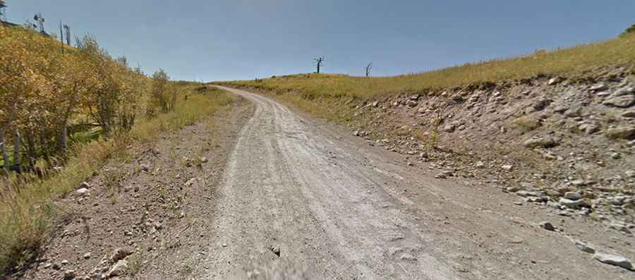
Located within the Coconino National Forest, the road to the summit, also known as Elden Mountain, is totally unpaved. It’s called Elden Lookout Road (Forest road 557). 4x4 vehicle required.
How long is the road to Mount Elden in Arizona?
The road to the summit is 11.90km (7.4 miles) long starting at US-180, to the north of Flagstaff. Over this distance the elevation gain is 670 meters. The average gradient is 5.63%. Only the forest service and other service vehicles are allowed on the last part. Do not lift the gate.
Is the road to Mount Elden in Arizona challenging?
Set high in the north central part of Arizona, conditions vary considerably depending on how recently a road grader has been through. At any time of year be ready for on-coming vehicle traffic on the narrow and curvy road. The road is graded and not too rough, but it has some nice switchbacks and hairpin turns, so be careful because you will be sharing the road with other vehicles and mountain bikers at times.
Is Mount Elden in Arizona worth it?
Definitely worth a visit, especially during autumn. The summit hosts a few communication towers. The journey offers a great view of Flagstaff, San Francisco Mountain and northern Arizona. Near the top of the climb you'll walk through an area devastated by a huge wildfire in 1977.