How to drive the unpaved road to Terry Flat in Arizona?
Terry Flat is a large meadow at an elevation of 3.033m (9,950ft) above sea level, located in Apache County, in the U.S. state of Arizona. It’s one of the highest roads of Arizona.
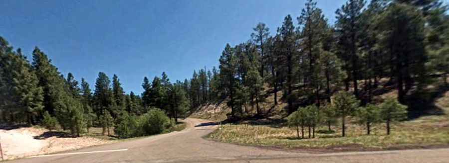
Where is Terry Flat?
The meadow is located in the shadow of Escudilla Mountain, in the eastern part of Arizona, near the New Mexico border, within the Apache-Sitgreaves National Forests.
Is the road to Terry Flat unpaved?
The road to the meadow is a loop road. It’s totally unpaved and called Terry Flat Loop Road (Forest Service Road 56). A 4x4 vehicle is recommended.
How long is the loop road to Terry Flat?
The loop road is 5.9 miles long. Definitely worth a visit, especially during autumn. This is a very scenic and quiet ride on a little used forest road.
Is the road to Terry Flat open year-round?
Set high in the White Mountains, the road is not plowed in winters.