How to drive the unpaved road to Inner Basin in Arizona
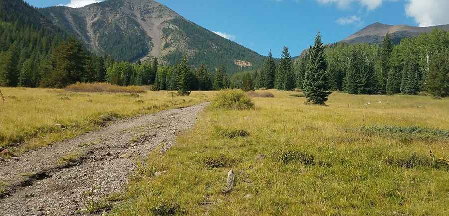
Inner Basin is a high mountain ravine at an elevation of 2.997m (9,832ft) above sea level, located in Coconino County, in the U.S. state of Arizona. It’s one of the highest roads of Arizona.
Where is Inner Basin?
The peak is located in the north-central part of Arizona, within the Coconino National Forest. Definitely worth a visit, especially during autumn. Late September through mid-October draws large crowds.
Is the road to Inner Basin unpaved?
The short rough road to the summit is totally unpaved. It comprises a few rocky sections. A 4x4 vehicle is required.
How long is the road to Inner Basin?
Starting from E John Wesley Powell Blvd, the road to the summit is 0.3 mile long.
Is the road to Inner Basin open year-round?
Set high in the San Francisco Peaks, the road is not plowed in winters. Snow may linger on upper sections until late June or early July.
Pic: Steven Terry