How to drive the unpaved road to Magleby Pass in Utah
Magleby Pass is a high mountain pass at an elevation of 3.216m (10,551ft) above sea level, located in Sevier County, in the U.S. state of Utah. It’s one of the highest roads of Utah.
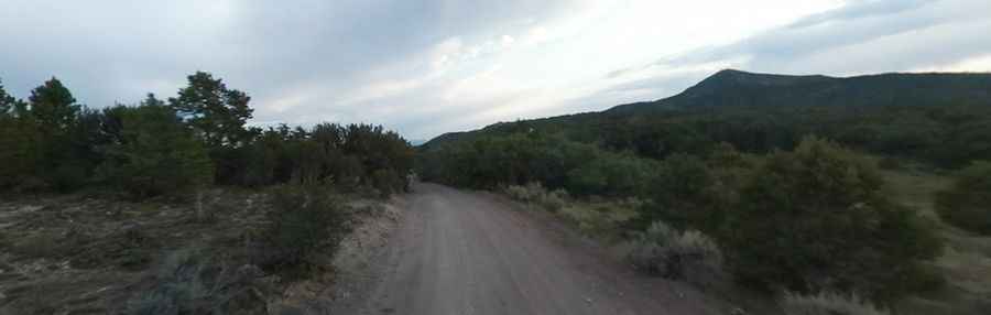
Where is Magleby Pass?
The pass is located in the central part of Utah, within the Fishlake National Forest.
Is the road to Magleby Pass unpaved?
The road to the summit is totally unpaved. It’s called Forest Road 068 (FR068). A 4x4 vehicle is recommended.
How long is the road to Magleby Pass?
The road through the pass is 13.9 miles long, running north-south from Monroe Mountain Road to Forest Road 076 (FR076). The road is narrow and eroded enough to make travel a little uncomfortable.
Is the road to Magleby Pass open year-round?
Set high in the Sevier Plateau, the road is not plowed in winters.
Pic: Ronald Kroeger