An epic enthralling road to Monroe Peak in Utah
Monroe Peak is a high mountain peak at an elevation of 3.421m (11,223ft) above sea level, located in Sevier County, in the U.S. state of Utah. It’s one of the highest roads in Utah.
Is the road to Monroe Peak in Utah unpaved?
Tucked away in the Sevier Plateau, a nice gravel road leads to the summit. It's called Forest Road 183, aka Monroe Mountain Road. A 4x4 vehicle is recommended, but most 2WD vehicles can make it. Use caution if the weather has been wet; the road is narrow and eroded enough to make travel a little uncomfortable.
Is Monroe Peak in Utah open in winter?
Located above the town of Monroe, accessibility to the summit is largely limited to the summer season (it's closed from November through June).
When is the best time to drive to Monroe Peak in Utah?
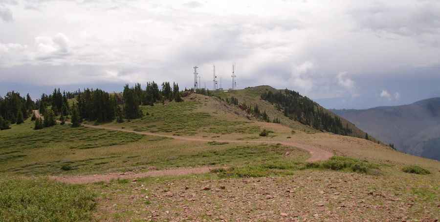
There is a lot of ATV traffic on weekends, so if you intend to drive to the summit, you might want to consider a weekday. The view is good, and many other highpoints can be picked out. The summit is crowned with communication towers, and it's one of the premier free flight launches in the US.
How long is the road to Monroe Peak in Utah?
The road to the summit is very steep. Starting from Forest Road 078, the ascent is 4.66km (2.9 miles) long. Over this distance, the elevation gain is 294 meters. The average gradient is 15.33%.
Pic: Don Parscale