How to drive the unpaved road to Mount Peale in Colorado?
Mount Peale is a high mountain peak located in San Juan County, in the US state of Utah. East of the summit, a gravel road climbs up to at an elevation of 3.287m (10,784ft) above sea level. It’s one of the highest roads of Utah.
Where is Mount Peale?
The peak is located north of La Sal, in the southeastern part of Utah, near the Colorado border.
Is the road to Mount Peale unpaved?
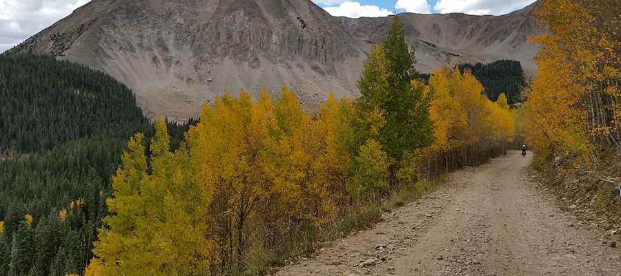
The track is entirely unpaved, a raw mix of loose gravel, sharp stone shards, and large embedded boulders. Driving here requires a true high-clearance 4x4 vehicle. It features narrow parts, steep sections and 2 sharp hairpin turns.
How long is the road to Mount Peale?
Starting from Dark Canyon Lake Road, the road is 2.73km (1.7 miles) long. Over this distance, the elevation gain is 207m (682 ft) and the average gradient is 7.58%.
Is the road to Mount Peale open year-round?
Set high in La Sal Mountains, the road is totally impassable in winters. The route often involves some travel on snow, even in summer.
Pic: David Barth