How to drive the unpaved road to Garfield Peak in Colorado
Garfield Peak is a high mountain peak located in in the U.S. state of Colorado. South of the peak, a gravel road climbs up to at an elevation of 3.771m (12,372ft) above sea level. It’s one of the highest roads of Colorado.
Where is Garfield Peak?
The peak is located east of Aspen on the boundary between Pitkin and Chaffee counties, in the central part of Colorado.
Why is it called Garfield Peak?
The peak is named in honor of James A. Garfield, 20th President of the United States.
Is the road to Garfield Peak unpaved?
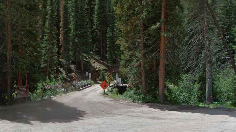
The road to the summit is totally unpaved. It’s called Lincoln Creek Road (County Road 23). It’s narrow in parts, steep and comprises many hairpin turns near its end. A 4x4 vehicle is required. It’s closed to heavy vehicles and runs along the Lincoln Creek.
How long is the road to Garfield Peak?
Starting from CO-82, the road to the summit is 20.1 km long. Over this distance, the elevation gain is 840 m and the average gradient is 4.17%.
Is the road to Garfield Peak open year-round?
Set high in the Collegiate Peaks in the Sawatch Range of the Rocky Mountains, the road is not plowed in winters.