How to drive the mining road to Mount Buckskin in Colorado
Mount Buckskin is a high mountain peak at an elevation of 3.881m (12,732ft) above sea level, located in Park County, in the U.S. state of Colorado. It’s one of the highest roads of Colorado.
Where is Mount Buckskin?
The peak is located south of Breckenridge, in the central part of Colorado.
Is the road to Mount Buckskin unpaved?
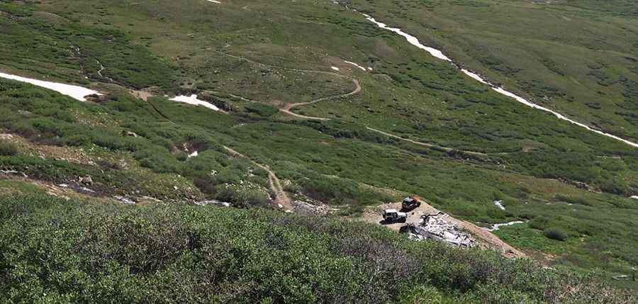
The road to the summit is totally unpaved. It’s a shelf road with narrow parts and very steep sections. A 4x4 vehicle is required. The road was built to provide access to Raphael Mine and Miriam Mine. The trail follows numerous remnants of Colorado's mining heritage.
How long is the road to Mount Buckskin?
Starting from Alma, the highest town in North America, the road to the summit is 14.4km long. Over this distance, the elevation gain is 751 m and the average gradient is 5.21%.
Is the road to Mount Buckskin open year-round?
Set high in the Mosquito Range of the Rocky Mountains, the road is totally impassable in winters due to the heavy snowfalls in the area.
Pic: Taylor Stucker