Driving the road to Miller Lake in Montana is not a piece of cake
Miller Lake is a high mountain lake at an elevation of 2,571m (8,435ft) above sea level, located in Deer Lodge County, in the U.S. state of Montana.
Where is Miller Lake in Montana?
The lake is located south of Anaconda, in the southwestern part of Montana. Elks, wolves, mule deer, sheep, moose, badgers, coyotes, and black bears can be seen along the trail to the lake.
Is the road to Miller Lake unpaved?
The road to the summit is totally unpaved. A 4x4 vehicle is required. The road runs along Mill Creek and leads to and across the small dam at the end of the lake. It’s very steep, hitting a 15% maximum gradient through some of the ramps.
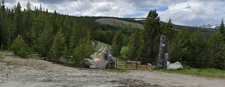
Is the road to Miller Lake open?
The road tops out at 2,613m (8,572ft) above sea level. Winter is deep in snow, so the road is usually impassable from late October through late June or early July (depending on snow). According to some sources, the road is lately blocked with a gate.
How long is the road to Miller Lake?
Starting at the paved MT-569 (Deep Creek Road, also known as Mill Creek Road), the road to the lake is 16.6 km (10.31 miles) long. Over this distance, the elevation gain is 822 m and the average gradient is 4.95%.