How to drive the unpaved road to Grassy Mountain in Montana?
Grassy Mountain is a high mountain peak at an elevation of 2.438m (7,998ft) above sea level, located in Deer Lodge County, in the U.S. state of Montana. Elk, mule deer, badgers, coyotes, and black bears can be seen along the trail.
Where is Grassy Mountain?
The pass, also known as Grassy Point, is located in the southwestern part of Montana, within the Beaverhead-Deerlodge National Forest.
Why is there a road to Grassy Mountain?
The summit hosted a fire lookout tower. This lookout, built in the 1930's, was last used for emergencies in 1970. The cab collapsed prior to 2009.
Is the road to Grassy Mountain unpaved?
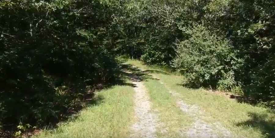
The road to the summit is totally unpaved. It features narrow parts and steep sections. A 4x4 vehicle is required.
How long is the road to Grassy Mountain?
Starting from Dry Creek Road, the road to the summit is 5.63km (3.5 miles) long. Over this distance, the elevation gain is 466m (1,532 ft) and the average gradient is 8.27%.
Is the road to Grassy Mountain open year-round?
Set high in the Anaconda Range, the road is not plowed in winters.
Pic: Have Moore Adventure