Skalkaho Mountain: Driving the 30 Hairpins of Forest Road 714
Skalkaho Mountain is a high mountain peak at an elevation of 2,580m (8,464ft) above sea level, located in Ravalli County, in the US state of Montana.
| Road facts: Skalkaho Mountain | |
|---|---|
| Location | Ravalli County, Montana, USA |
| Elevation | 2,580 m (8,464 ft) |
| Road Name | Gird Creek Road (Forest Road 714) |
| Length | ~32.2 km (20 miles) |
| Hairpins | 30+ |
Where is Skalkaho Mountain?
The peak is located in the southwestern part of the state, within the Bitterroot National Forest.
How long is the road to Skalkaho Mountain?
The road starts from the paved Skalkaho Highway (MT-38). The route follows Gird Creek Road (Forest Road 714) and is approximately 20 miles long.
Is the road to Skalkaho Mountain unpaved?
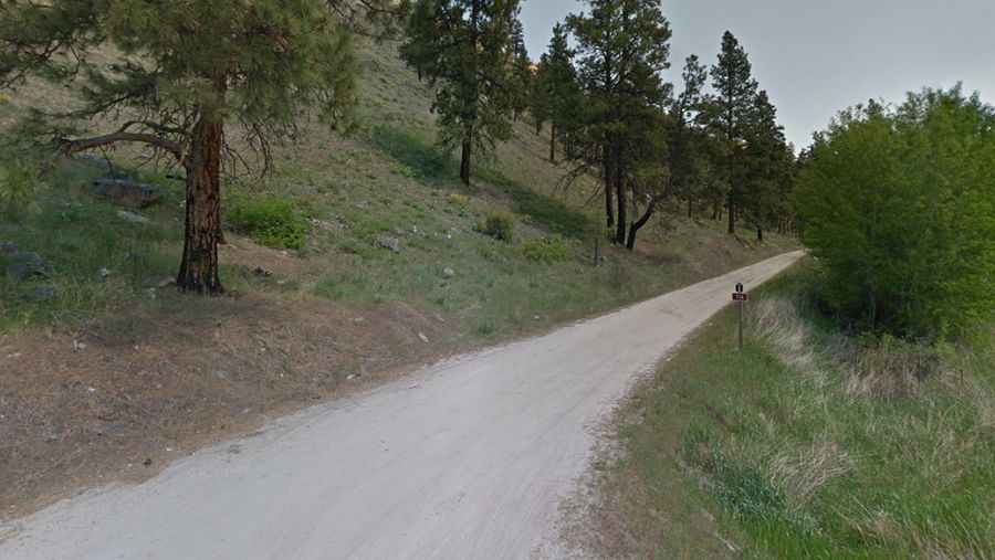
The surface is entirely unpaved, with gravel and dirt that is rarely maintained. It features more than 30 hairpin turns. The road is narrow, often reduced to a single lane with soft shoulders and steep unprotected drops.
What vehicle is required for Forest Road 714?
A high-clearance 4x4 vehicle is strongly recommended. While the average grade is manageable, the sheer number of hairpins and the presence of deep ruts and washboard sections make it unsuitable for standard passenger cars.
How remote is the road to Skalkaho Mountain?
The track is one of Montana's least traveled roads; you are more likely to encounter fallen trees or rock debris than other vehicles. There are no services, fuel, or water anywhere along the 20-mile stretch from the Skalkaho Highway to the summit. Mobile signal is non-existent in the deep canyons of the Bitterroot National Forest.
Is the road to Skalkaho Mountain open year-round?
Due to its elevation and forest density, the road is impassable in winter and can remain blocked by snow well into late June or July. There are no safety barriers, and the road can become extremely slick after rain, turning the dirt sections into deep mud. Always check the Bitterroot National Forest service alerts for road closures due to fires or washouts before departing.