A Memorable Road Trip to Resolution Mountain in Colorado
Resolution Mountain is a high mountain peak at an elevation of 3,638 m (11,935 ft) above sea level, located in Eagle County, in the U.S. state of Colorado. It’s one of the highest roads in Colorado.
Where is Resolution Mountain?
The peak is located west of Ptarmigan Hill, in the central part of Colorado, in the heart of the White River National Forest.
Is the Road to Resolution Mountain Unpaved?
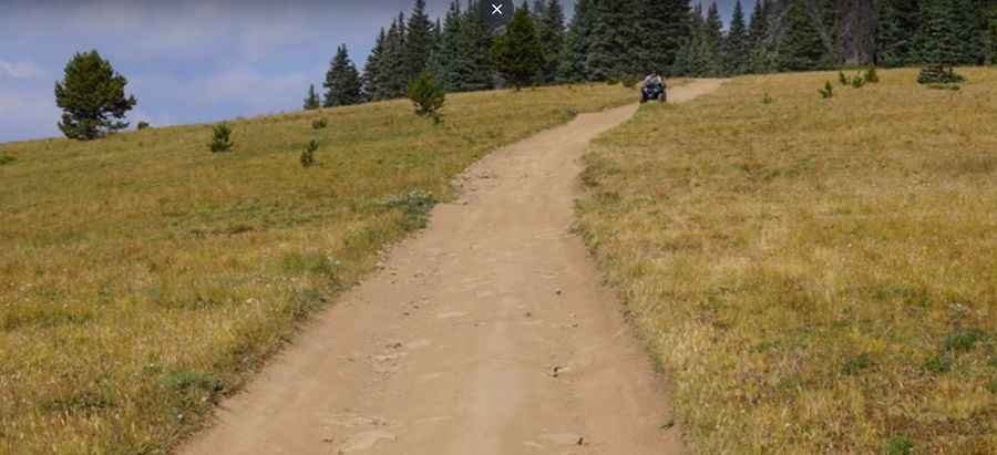
The road to the summit is totally unpaved. It’s called Hornsilver Spur. 4x4 vehicles are required.
How Long is the Road to Resolution Mountain?
The road to the summit is very steep. Starting at Road 708, the ascent is 6.27 km (3.9 miles) long. Over this distance, the elevation gain is 825 meters. The average gradient is 13.15%.
Is the Road to Resolution Mountain Open in Winter?
Set high in the Rocky Mountains, on the northern end of the Sawatch Range, the road is impassable in winter.
Pic: Patrick Saunders